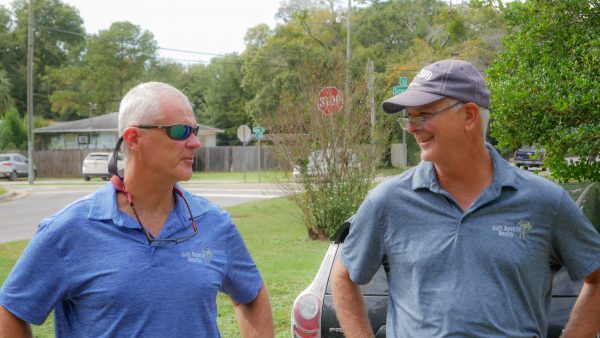
Getting a property ready to build can be challenging but that’s why I love it.
After getting the parcel surveyed, elevation benchmarks laid in and wetland lands clearly delineated we are ready for heavy equipment.
I insist on a new survey on every piece of land our clients acquire. “Seller to provide new survey with elevation benchmark certified to buyer,
Title company and lender no less than ten days prior to closing” is tone of the conditions I require when making an offer. Rarely do I get a survey ten days before closing but I always ask to give me time to check for any conflicts with adjacent property owners. No survey , no closing and no compromise . I could write many articles on survey issues I have encountered over the past 30 years in this business. Stay tuned or ask me questions about your situation.
I specialize in coastal properties given I am a marine mammal with salt water in my blood. Knowing the elevation of the land above sea level is crucial. The land surveyor upon request and a fee can provide you with a reference point called a benchmark. The benchmark is a factual depiction of the elevation. You normally see these as a nail driven into the road or on a utility pole . We like to put the benchmark somewhere where it is not likely to be distributed. Could be sometime before the construction begins and we don’t want to have to call the surveyor for a second visit = time=$.
Wetland delineation and permitting with Florida Department of Environment Protection(DEP) as well as United States Army Corp of Engineers (USACOE) whom have jurisdiction of all wetlands in land development requires professionals . I will leave it at that for now. A well flagged wetland boundary gives the equipment operator confidence he is clearing only uplands .
Finally ready for Rusty Lee of Lee Hauling and Clearing. I have added learning to operate an excavator to my bucket list.


